

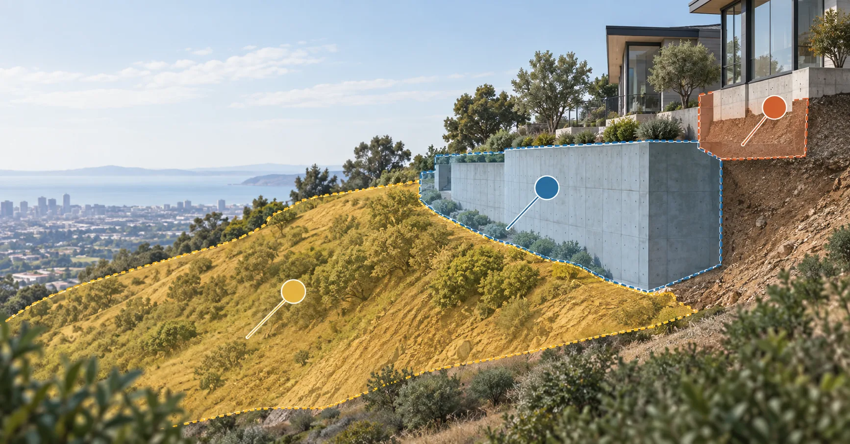
A Provo hillside development may place a basement against the uphill slope, a retaining wall beside the driveway, and building foundations at several elevations. Each feature changes the ground around it. The engineering has to address how the finished structures fit the hillside and how the cuts needed to build them will be supported.
Property limits can change the retaining system even along the same wall. At Vista Monterey in Corona, California, Cefali & Associates designed top-down retaining walls using soil nails where easements were available and soldier piles where nail easements were not permitted. The tallest soil nail sections reached 25 feet, with nail lengths constrained by the property line.
A retaining wall addresses a particular grade difference
A permanent retaining wall supports ground at a defined location. Its height and alignment follow the proposed grades and the space available for the wall and its support. A wall near a driveway may have a different relationship to the building than a wall immediately behind a basement.
The condition of the wider slope remains part of the geotechnical or engineering-geology assessment. Designing a wall at one edge of a building pad does not, by itself, establish whether the hillside needs slope-stabilization work.
That distinction matters during early planning. If the concern is the broader slope, pricing a wall chosen from another project may leave the main problem unaddressed. If the concern is a local cut for a driveway or basement, the design needs to focus on that geometry and its relationship to the surrounding ground.
The space behind the wall can determine the system
Some retaining systems extend into the ground behind the visible wall face. On a property-line site, that space may be limited by ownership, access rights, nearby foundations, or other improvements. A wall face that fits on the plan does not establish that its support will also fit.
Vista Monterey illustrates this directly. Soil nails and soldier piles were used in different portions of the development because the available easements changed. Both wall types received a BoulderScape rock face to meet the City's requirement for decorative wall faces.
For a Provo project, the wall layout needs to reflect the actual boundaries and the rights available for the work. An engineering design cannot establish permission to extend support elements onto another property.
Basement and foundation work may require a larger cut
The finished building section shows where the basement wall and footings will remain. Construction also needs space to excavate, install support, and build those elements. On the uphill side of a constrained lot, that working area can approach a property boundary or another structure.
A terraced layout can create several of these conditions at once. A lower foundation excavation may sit near a higher retained area, while a driveway limits equipment access from another direction. The retaining design and building foundation design need to account for those relationships.
The temporary-shoring and permanent-wall guide explains why the open excavation and completed development need to be considered separately. A permanent wall can have a construction-stage role, but that role must be part of its engineering.
Drainage belongs in the hillside layout
Retaining walls, foundations, and proposed grades need consistent drainage assumptions. A change to the building pad or wall alignment can affect the drainage arrangement as well as the structural work. The civil and geotechnical recommendations need to be incorporated by the designers responsible for each part.
The finished access route is also part of the grading layout, while construction may require additional working room. Equipment access and material handling should be considered while retaining-wall positions and basement geometry can still be adjusted.
Provo's regional geology informs the investigation
The Utah Geological Survey's mapping of the Provo area, Utah Valley, and the central Wasatch Range provides regional geologic context. Its hazard-assistance resources explain UGS's assistance role. Neither replaces the investigation and professional assessment of a proposed building site.
For an early engineering discussion, a section through the hillside is more informative than the name of a preferred wall system. Contact Cefali & Associates with the proposed grades and building layout, the available geotechnical information, and the places where boundaries or access restrict the work. See the proposal preparation guide for the supporting materials.