

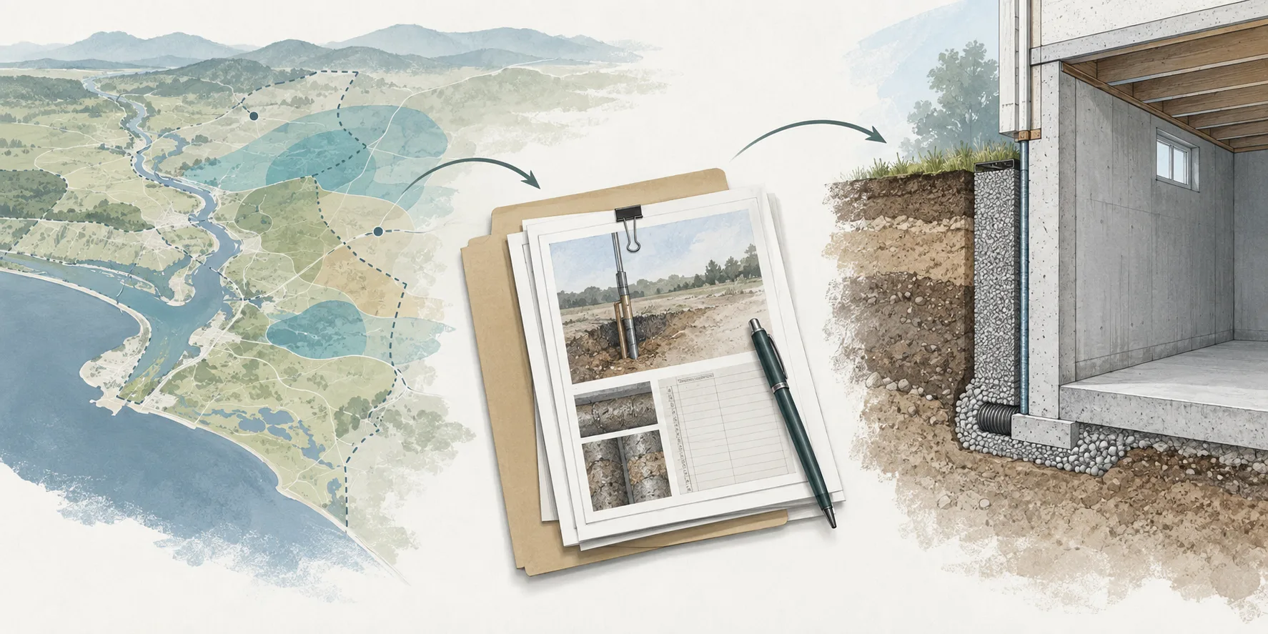
On a sloping San Diego parcel, a basement can require a much taller excavation on one side than the other. Nearby foundations, retaining walls, and access routes can further limit how that excavation is built. A geologic hazard map can flag a ground concern, but it cannot show these relationships for the proposed building.
For a developer evaluating a basement, the map is a starting point for investigation. The design has to connect that wider ground information to the depth and location of the actual cut.
A hazard map does not describe the excavation
San Diego's Seismic Safety Study describes its maps as general geologic hazard guidance, not site-specific information. The City also links to geotechnical-report requirements and directs readers to state information for current earthquake-fault-zone boundaries.
A mapped category can identify something the geotechnical team needs to investigate. It does not supply the earth-retention design, locate a neighbor's footing, or show whether an excavation ramp will fit. Likewise, an apparently favorable map classification cannot establish that the proposed basement is straightforward to construct.
The geotechnical investigation connects the mapped concerns with the ground at the planned excavation. The geotechnical professionals determine what investigation and analysis the conditions and proposed building require.
Different sides of the basement can need different support
A single typical section can hide the most constrained part of a sloping site. The uphill side may retain more ground, while the downhill side has a different relationship to access and surrounding improvements. A neighboring building or retaining wall may be close to only one edge.
The shoring designer needs the existing and proposed grades together with the excavation and foundations. Sections through the constrained sides make those relationships visible. A plan showing only the basement outline does not show the height of ground being retained or what lies beside the cut.
This can affect the layout before a support system is selected. Moving a wall, changing the basement depth, or changing the proposed construction access gives the engineers a different excavation to evaluate. The design should follow that geometry, rather than treating the whole parcel as one uniform cut.
Ground information has to address the proposed depth
An existing geotechnical report may be useful, but its relevance depends on the work it investigated and the proposal it addressed. A report prepared for an earlier building layout should be reviewed against the current basement sections before its recommendations are used for the new design.
The geotechnical engineer establishes ground conditions and design recommendations. The structural design then uses the applicable recommendations to develop the wall and support arrangement. The presence of a report does not mean those structural elements have been designed.
Early feasibility discussions can begin while information is incomplete. At that stage, the team may be identifying what needs investigation and which approaches merit further evaluation. That is a different level of work from completed excavation-support drawings.
Nearby foundations need their own attention
A new ground investigation does not automatically establish the depth, geometry, or condition of a neighboring foundation. Available building records and further investigation may be needed to understand how it relates to the proposed excavation.
Retaining the ground and supporting an existing structure are related but distinct tasks. Temporary shoring addresses the excavation support. Underpinning concerns support for an existing foundation where the engineering evaluation establishes a need. Neither should be assumed solely from the site's mapped hazard category.
The basement footprint may fit even when nearby foundation conditions are still unknown. Those conditions can affect the excavation layout and any additional support required, so they belong in the feasibility discussion before the layout is settled.
Access also affects what can be built
Even after the ground and adjacent foundations are understood, the contractor needs room to install the support, remove excavated material, and construct the basement. Property boundaries and neighboring improvements can limit the available working area. Those physical limits need to be considered alongside the geotechnical recommendations.
Send Cefali the proposed basement sections and available ground information to begin that discussion. Include the site location and the nearby foundation or access condition that concerns the team. The proposal guide covers the supporting documents, including what can be supplied when the project is still at concept stage.